Category: Elevation
Posts related to elevation data
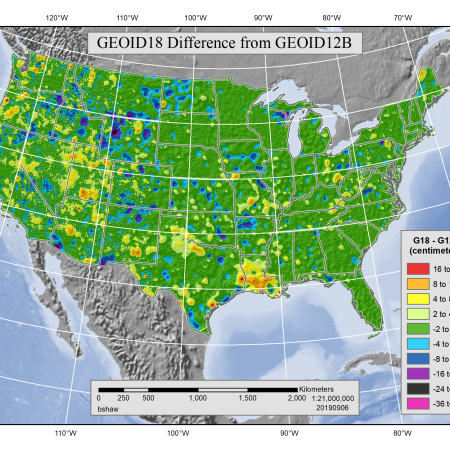
Elevation Inventory: Footprint Improvements

Virtual Formats – Using Raster VRTs
DAV: New Products

Good ol’ Rockyweb
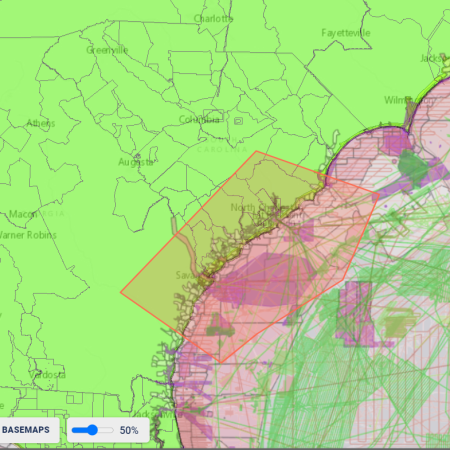
Data Access Viewer: Changes
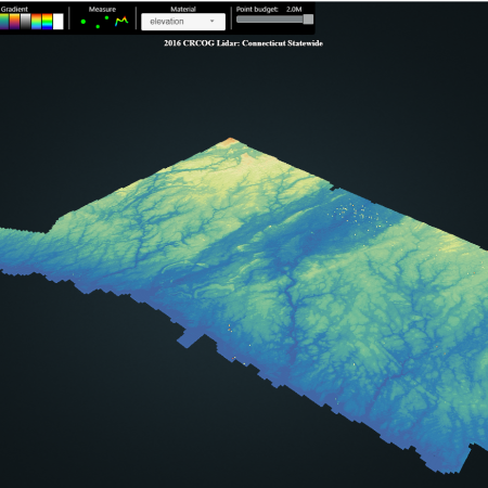
QGIS – First Impressions
New Ways to Access Lidar

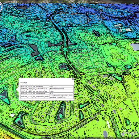
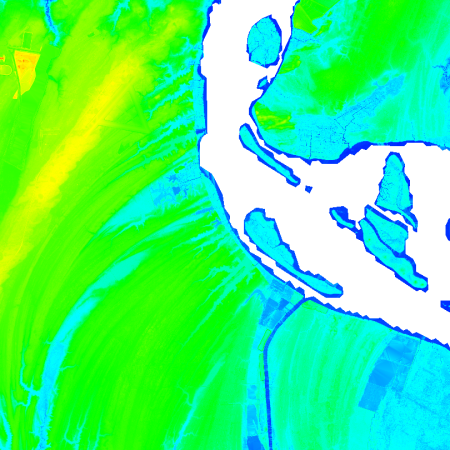
Lidar in XYZ

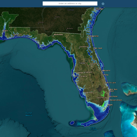
US Interagency Elevation Inventory: Map Services

Georeferencing: Et Tu AutoCAD?
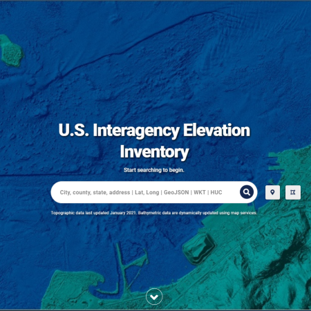
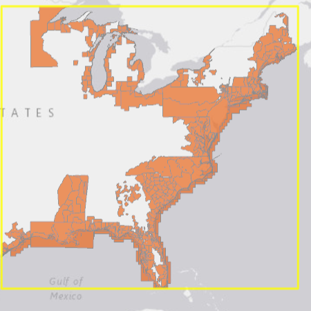
U.S. Interagency Elevation Inventory: Version 2
U.S. Interagency Elevation Inventory: Changes
Downloading Multiple Full Datasets from Digital Coast