
Author: Kirk Waters
I’m a physical scientist at the NOAA Office for Coastal Management. In my spare time, when I’m not torturing co-workers, I try to fit in some technical work on lidar processing and distribution. I also try to figure out ways to improve the Digital Coast’s data offerings in general. Somewhere in the back of my head there are still a few brain cells that remember satellite ocean color, oceanographic field work, and something about the ozone hole.
Virtual Formats – Using Raster VRTs
DAV: New Products
Data Access Viewer: Changes
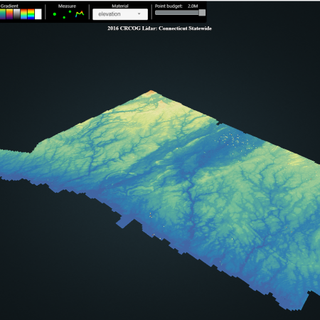
New Ways to Access Lidar
Lidar in XYZ
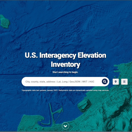
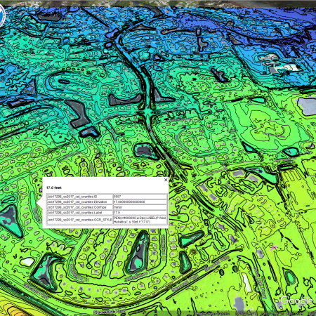
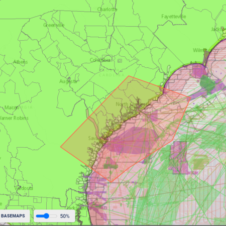
US Interagency Elevation Inventory: Map Services
Georeferencing: Et Tu AutoCAD?
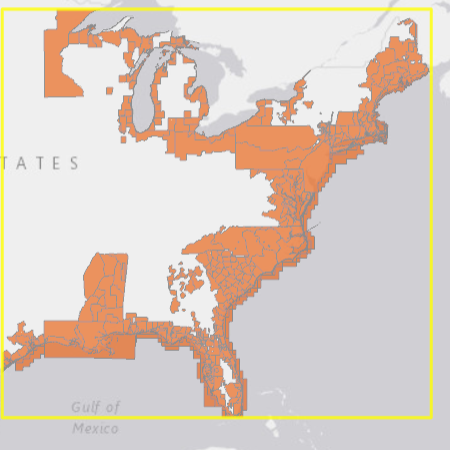
U.S. Interagency Elevation Inventory: Version 2
U.S. Interagency Elevation Inventory: Changes

Download from a List of Files from Windows
Downloading Multiple Full Datasets from Digital Coast

Is That Georeferencing Really Wrong?
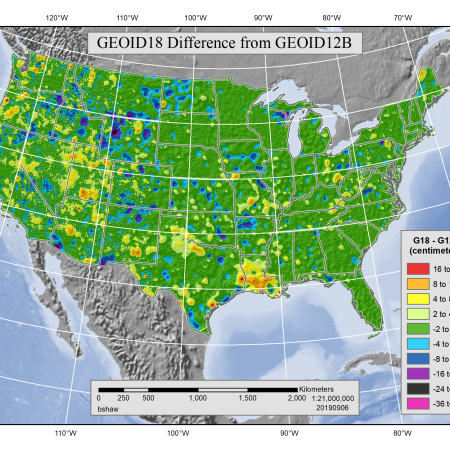
DAV Tips: GEOID18

