Digital Coast GeoZone

Tech talk for the Digital Coast

Menu Skip to content
  • Home
  • About
  • Digital Coast
    • Data
    • Tools
    • Training
    • Stories
    • Topics
  • Contact Info

Tag: DEM

November 17, 2021November 17, 2021Rebecca Mataosky

Good ol’ Rockyweb

June 24, 2020August 10, 2020Kirk Waters

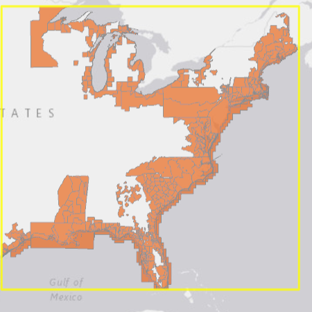
Downloading Multiple Full Datasets from Digital Coast

January 30, 2017May 4, 2020Kirk Waters

Lidar and ArcGIS

September 1, 2016January 25, 2017Kirk Waters

Black and White TIFF?

June 20, 2016January 5, 2017Kirk Waters

Converting Vertical Units in a Digital Elevation Model

May 31, 2016May 31, 2016Kirk Waters

Displaying Elevation Rasters in Free Software

February 16, 2016February 16, 2016Kirk Waters

Lidar Contours

December 14, 2015January 13, 2016Ross Winans

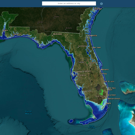
Considerations for Coastal Elevation Mapping

Fall foliage gracing a wooded path. Taken by NOAA/OAR/Great Lakes Environmental Research Lab.
July 23, 2014October 26, 2015Kirk Waters

First Return Lidar in Digital Coast

February 18, 2014July 1, 2016Geoscience Consultants

Give Me a Break – Line, Part Deux

January 10, 2014June 30, 2016Ross Winans

What Do You See in the (Lidar Point) Clouds?

November 13, 2013July 1, 2016Geoscience Consultants

Give Me a Break – Line

February 26, 2013July 1, 2016Kirk Waters

Troubles with TIFF: No Data Values with Floating Point

Categories

  • Economics
  • Elevation
  • General
  • Imagery
  • Land Cover
  • Marine Cadastre
  • Sea Level Rise
  • Water Quality

Enter your email address to subscribe to this blog and receive notifications of new posts by email.

Join 77 other subscribers

RSS Feed RSS - Posts

Tags

accuracy ArcGIS bathymetry change climate change coastal and marine spatial planning Coastal Change Analysis Program (C-CAP) coastal economy coastal flooding coastal geotools coastal mapping contours data data access datum DAV DEM download economy elevation ellipsoid enow Esri flood GDP geeks geoid georeference GIS Green Infrastructure habitat hurricane Hurricane Sandy Imagery indicator inundation jobs land cover land cover data Landsat Landsat Data Continuity Mission land use LAS LAZ lidar map comparison mapping map services metadata minimum mapping unit National Climate Assessment ocean uses organization orthometric pdal planning poetry Python QGIS raster remote sensing requirements resolution return on investment Sea Level Rise spatial standard statistics tides TIFF tools topography USGS usiei water quality
  • Follow Following
    • Digital Coast GeoZone
    • Join 77 other followers
    • Already have a WordPress.com account? Log in now.
    • Digital Coast GeoZone
    • Customize
    • Follow Following
    • Sign up
    • Log in
    • Report this content
    • View site in Reader
    • Manage subscriptions
    • Collapse this bar