Digital Coast GeoZone
Tech talk for the Digital Coast
Menu
Skip to content
Home
About
Digital Coast
Data
Tools
Training
Stories
Topics
Contact Info
Tag:
ArcGIS
December 9, 2022
December 9, 2022
Kirk Waters
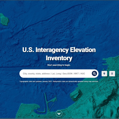
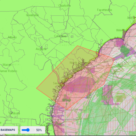
Elevation Inventory: Footprint Improvements
January 29, 2021
February 22, 2021
Kirk Waters
U.S. Interagency Elevation Inventory: Changes
May 1, 2020
May 1, 2020
Kirk Waters
Is That Georeferencing Really Wrong?
January 30, 2017
May 4, 2020
Kirk Waters
Lidar and ArcGIS
October 5, 2015
February 10, 2017
Anna Verrill
Oh Where, Oh Where Have Our Map Services Gone?
January 5, 2015
October 26, 2015
Kirk Waters
Workaround for 16-bit Thematic Tiff in ArcGIS
Subscribe
Subscribed
Digital Coast GeoZone
Join 83 other subscribers
Sign me up
Already have a WordPress.com account?
Log in now.
Digital Coast GeoZone
Customize
Subscribe
Subscribed
Sign up
Log in
Report this content
View site in Reader
Manage subscriptions
Collapse this bar